Inmarsat: 'No hotspot' in search for Flight MH370
After failing to find signs of Flight MH370 on a swath of the Indian Ocean, searchers will focus on an area further south. But the spot viewed as the most likely resting place of the jet is no hotspot, Inmarsat tells DW.
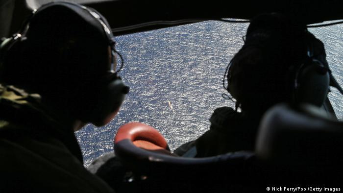
The search for missing Malaysia Airlines Flight MH370 recently suffered a setback as Australia ruled out a large swath of the Indian Ocean as the jet's final resting place, compounding the frustration of passengers' relatives. They have been left without answers ever since the Boeing 777 mysteriously disappeared after leaving Kuala Lumpur for Beijing on March 8 with 239 people on board.
Australia plans to resume the search southwest of the area of the Indian Ocean where the seafloor was scanned in detail last month, according to officials. The New York Times reports the move reflects analyses of a series of electronic "handshakes" between the plane and a satellite operated by the London-based company Inmarsat in the hours after the airliner vanished.
The company calculated where the plane probably went down in the southern Indian Ocean based on brief hourly connections it made to one of their satellites and recently told the BBC that investigators had yet to target the most likely crash site. But in a DW interview, Chris McLaughlin, senior vice-president for external affairs at Inmarsat, defends the investigators' decision to focus on the area where ping signals were detected and warns that the new search area will be extensive and very challenging.
DW: Why are you of the view that the search team has not yet investigated the passenger jet's most likely resting place?
According to your data, where is the hotspot located where MH370 most likely came down?
There is no "hotspot." The comment made by Inmersat scientist Chris Ashton on the BBC's Horizon program refers to a large area of ocean and should not be thought of as a small defined point. We can only identify an approximate course based on the very limited data available to be extrapolated from our network. The search area will be extensive and very difficult.
How were you able to calculate this location?
We didn't. We have demonstrated a probable direction of travel, which has been independently agreed upon as the best fit for the data available by other professional bodies.
Investigators had been searching for two months in another location for what are now believed to be bogus ping signals. In your view, what prevented search teams focusing on the area previously identified by Inmarsat?
Investigators quite rightly needed to examine the signals coming from beneath the ocean surface and they did so.
Malaysia's civil aviation authority and Inmarsat released new satellite data about the ill-fated plane last month. Why did you release it after so many months?

"Investigators quite rightly needed to examine the signals coming from beneath the ocean surface," says McLaughlin.
We gave initial data to the investigation within three days of the loss, through the data owner to the correct authority. Some two weeks later, following further investigation and modelling, coupled by independent review by other parties, we gave our suggested path for a southern route and this was announced by Malaysian authorities subsequently.
The data belonged to the investigation – NOT to Inmarsat. We were pleased to assist the investigation when it decided to make our data public.
Chris McLaughlin is senior vice-president for external affairs and Marketing Communications at the UK-based satellite company Inmarsat.
No comments:
Post a Comment
Thanks for commenting. Your comments are needed for helping to improve the discussion.